Analyse the
Infrastructure Pipeline
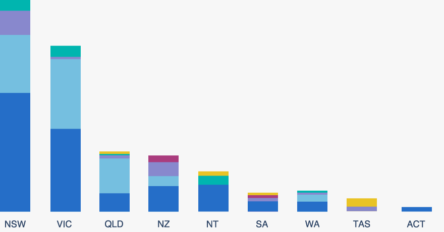
Our dynamic charts make it easy to get an up-to-date view of the Australia and New Zealand Infrastructure Pipeline. Pick one of the charts and filter by location, sector, status and procurement approach to explore the data behind the pipeline.
ANZIP charts
Infrastructure Pipeline By Status Infrastructure Pipeline By Location Pipeline Forecast By Expenditure Pipeline Forecast By Labour DemandAdditional charts by Infrastructure Partnerships Australia
Privatisations By Year Public Private Partnerships By Jurisdiction & YearPrivate Finance Analysis
Recent Updates
The Orana Battery Energy Storage System, developed by Akaysha Energy, involved the construction and operation of a 415-megawatt (MW) / 1,660-megawatt hour (MWh) lithium-ion battery energy storage system (BESS) and ancillary infrastructure.
The Project is located within the Central-West Orana Renewable Energy Zone, approximately two kilometres north-east of Wellington within the Dubbo Local Government Area.
The 2018-19 NSW Budget committed to delivering the Liverpool Health and Academic Precinct, to be located at Liverpool Hospital. The project will include:
- a comprehensive cancer centre providing inpatient services
- expanded capacity for ambulatory care services to be an alternative to hospital admissions
- expanded neonatal intensive and maternity care capacity
- expanded day surgery and interventional radiology capacity, and
- expanded critical care and inpatient capacity
- additional carparking.
The project will be delivered across two stages:
- Stage One main works will include redevelopment of the hospital's main entrance, maternity services, outpatient and support services, including a new pathology department and expanded emergency department.
- Stage Two main works will include construction of a new integrated services building with outpatient clinics, inpatient units, a Wellness Centre, and loading dock.
The project will enable Liverpool Hospital to respond to growing demand in South Western Sydney.
The Culcairn Solar Farm is located in the Riverina Region of NSW, approximately four kilometres south-west of Culcairn, 45 kilometres north of Albury and 70 kilometres south of Wagga Wagga in the Greater Hume local government area.
The site will be developed by Neoen and will comprise solar generation capacity of 440 megawatts (MW). The site also includes the option to incorporate a 100 MW battery at a future date.
The site connects to the National Electricity Market via TransGrid’s 330 kilovolt transmission line already on site.
The Boulder Creek Wind Farm is a proposed 450-megawatt (MW) Wind Farm located 40 kilometres south-west of Rockhampton, Central Queensland. The full scope of the project includes construction of 75 wind turbines and supporting infrastructure.
The project is being delivered across two stages, including:
- Stage One: 38 turbines producing 228 MW of generation, and
- Stage Two: 37 turbines producing 222 MW of generation.
The project is being developed by Aula Energy, owned by Macquarie Asset Management.
The project will deliver a range of upgrades to Sunshine Motorway at Mountain Creek to provide an improved Mooloolah River Interchange. The full scope of the project includes:
- additional northbound lane between the Mooloolah River Interchange and Buderim-Mooloolaba Interchange
- new north to west Sunshine Motorway overpass
- new eastbound overpass with a link to Brisbane Road
- duplication of the Sunshine Motorway between the existing Kawana Way Interchange and the new Mooloolah River Interchange
- new direct local road connection between Karawatha Drive and Brisbane Road
- northbound overpass connecting Nicklin Way and Brisbane Road
- new Mooloolah River Crossing connecting the Sunshine Motorway to Kawana Way, and
- new signalised intersection with Kawana Way
Delivery of the project is required to enable construction of the Wave Stage Three - Bus Rapid Transit between Birtinya and the Sunshine Coast Airport.
The Royal Perth Hospital Emergency Depatrment Redevelopment is a proposed package of works comprising the delivery of a six-story tower at the existing Royal Perth Hospital S block, to replace the existing Emergency Department.
The scope of the project includes delivery of:
- a six-story clinical tower,
- car parking area,
- expanded two level Emergency Department with new Ambulance bays,
- a dedicated Cardiac Investigation Unit and Cardiac Care Unit,
- a dedicated Dialysis unit,
- a Sub-Acute Cardiology Ward and a Renal Inpatient Ward,
- two Acute Medical Unit Wards, and
- provisions for future helipad.
The Western Downs Green Power Hub, being developed by Neoen, will be a 460-megawatt solar farm that consists of approximately 1,545 hectares of solar panel fields and a 845-megawatt / 2.3-gigawatt hour battery energy storage systems over three stages, located in Queensland.
Stage One and Two of the battery consist of 270 MW / 540 MWh BESS units, with Stage Three consisting of a 305 MW / 1.2 GWh battery.
The project will connect to the State's main transmission network both directly and via battery storage.
The Melbourne Renewable Energy Hub (MREH) will be an energy hub comprising 2.4 gigawatt hours of battery storage and a 12.5 megawatt co-located solar farm. It is located in Plumpton, Victoria, 25 kilometres northwest of Melbourne's CBD. The project will be built in two phases:
- Phase One, which has a total capacity of 600 MW / 1600 MWh. MREH Phase One has three battery stages all with 200 MW capacities. Two of the batteries will have 400 MWh of two-hour storage capacity, and one battery will have 800 MWh of four-hour storage capacity.
- Phase Two, which is planned to have a total capacity of 600 MW / 1200 MWh.
Phase One will be delivered first.
The project was orginally proposed by Syncline Energy, and was known as the Melton Renewable Energy Hub until it was acquired by Equis in November 2022.
Learn how to make the most of ANZIP
Welcome to the Australian and New Zealand Infrastructure Pipeline platform, a search tool for infrastructure projects. The Beta version offers new exciting features as well as improved popular features like Map view. Simply go to 'Search' in the menu bar to access the map.
See more tips
Popular searches
Sponsors
Partners
SIGN IN TO ANZIP AND SUBSCRIBE TO THE PIPELINE REPORT
Sign in to make the most of ANZIP. Subscribe to the Pipeline Report, Infrastructure Partnership's monthly analysis of Pipeline data and project movements, review past editions of the report and keep track of your Saved Projects.
Sign up